Date visited: May 5, 2006
Agency: Tualatin Hills Parks & Rec District
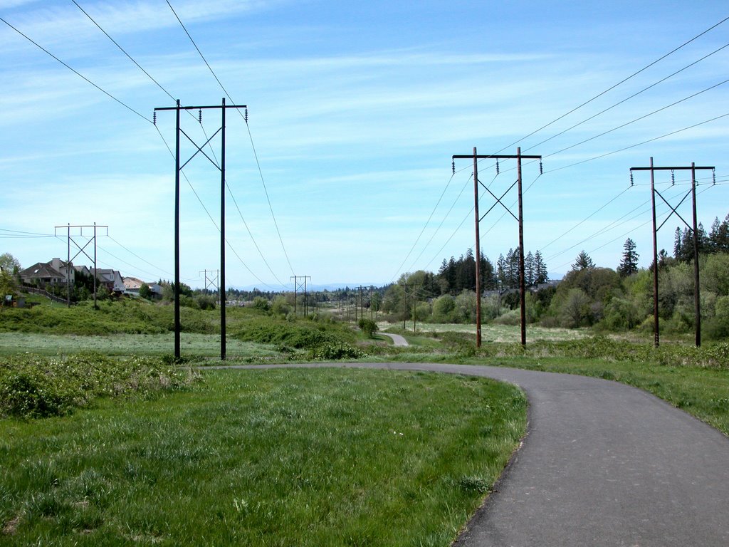
Path Surface: Paved
Elevation gain/loss: 60 ft
Distance: 2.6 miles
Ratings: Setting ++ Calorie-burning ++
Directions: From Hwy 26 (the Sunset) take the 185th Ave exit, go 1.1 miles north to West Union and turn right. After .4 mile turn left into Allenbach Acres (177th Ave) and go to the end of the street.
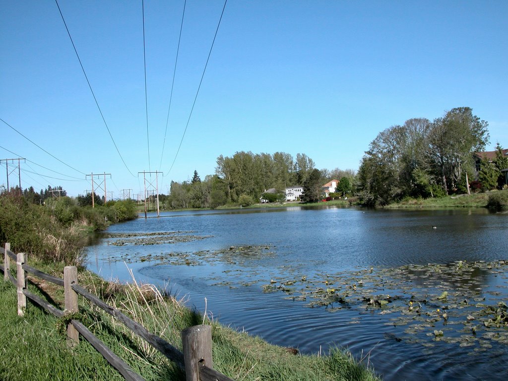
This section of the eventual 3.5 east/west route has less open water than Bethany Lake Park, but a “wilder” feel. Still, the path is in a slim corridor between subdivisions and the houses are plainly visible.
For the full mileage, turn west and walk back to West Union, where the path will eventually connect through to Bethany Lake. Take the side trail over a wooden foot bridge, where you can see lupine, English daisies and creeping buttercup. These two detours add .6 mile to your trip.
This is prime common yellowthroat country and be sure to look for the American goldfinches, especially at the feeders behind the houses. Swallows go sweeping by and you may see Bewick’s wrens, mourning doves, and house and song sparrows.
At .8 mile, the path splits, giving you the opportunity to go either north or south. For now, continue east past the Pirate Ship playground. After 1.3 miles, you reach the end of this section of the trail in Bethany Meadows Park. Return as you came or explore the short north and south extensions near the playground. If you still want more, return to your car and head west to Bethany Lake Park. (See that post.)