Here's a resource that I just discovered for trails in the West Linn area. I haven't been on any of these trails except some in Mary S. Young park, but as I get there, I will post reviews.
Trail Maps for the City of West Linn
Thursday, May 29, 2014
Friday, January 25, 2013
SW ~ Magness Memorial Tree Farm

Date visited: January 21, 2013
Agency: World Forestry Center
Path Surface: Paved loop and dirt
Elevation gain/loss: Unknown, but several steep sections on the trail in the northwest part of the property
Distance: Variable depending on the route. Several trails and length options. See map and description below.
Ratings: Setting ++++ Calorie-burning ++++ when hiking in the northwest portion of the park
Directions: 31195 SW Ladd Hill Rd, Sherwood, OR. From I-5, take Wilsonville exit 283, turn right on Wilsonville Rd. After 4.1 miles, turn right on Edminston Rd. for 1.3 miles, then right on Ladd Hill Rd. The gated parking lot is on the left.
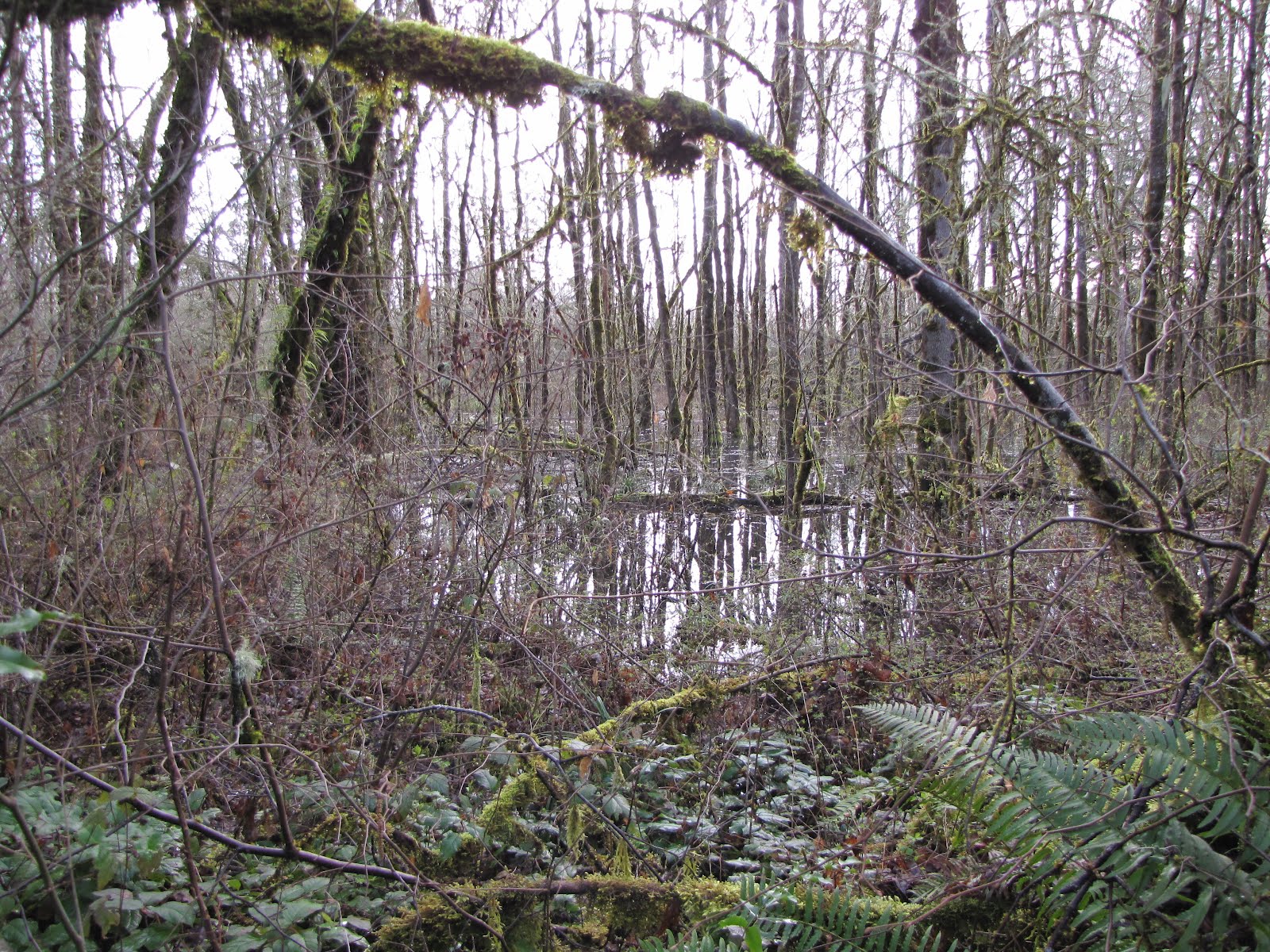
We did not have high expectations for this site but we were pleasantly surprised. On this cold winter day, we hiked for several miles all by ourselves and enjoyed the bird variety we saw. Of course, it helped that it was a bright sunny day....
From the parking lot, we walked on the paved Nagel Trail to take a look at the rental cabins, but when we crossed the creek on the bridge, we felt like we were really out in the woods. We stayed on the pavement for awhile, enjoying a large group of ruby-crowned kinglets near the springs, but then we started wandering.
We didn't have a site map with us and what appeared to be a map brochure on-site was frozen to its box. Reviewing the map linked below, I can reconstruct that we left the pavement and walked the footpath to near Corral Creek Rd, then followed the path north. We took the loop detour in the northwest section of the property, where we gained quite a bit of elevation. I did not have my GPS with us to get an elevation reading so that will require another trip.

Our route took us slightly more than 4 miles.
Map of the trails on the property.
Tuesday, August 14, 2012
SW ~ Tryon Creek State Park - Summer

The Terry Riley suspension bridge
Date visited: August 14, 2012Agency: Oregon State Parks and Recreation Dept.
Path Surface: Dirt, gravel. All-accessible trail and bike path are paved.
Elevation gain/loss: Variable, but there's some short steep hills on some of the trails.
Distance: Variable depending on the route. Several trails and length options.
Ratings: Setting ++++ Calorie-burning ++++ for perimeter of the park route
Directions: From I-5, take the Terwilliger Blvd exit and go 2.3 miles south to the park entrance.
The weather is warmer, the trails are dustier and it's almost five years since our last report on Tryon Creek State Park. Today, we reversed our route from that visit. Many more people were using the trails, and we had to walk a quarter of a mile before birdsong could be heard over the excited voices of many children in the vicinity of the Nature Center. Nevertheless, we spent several lengthy periods of solitude and almost-quiet.
A few wildflowers remain, but mostly green and brown are the colors of the day. Pick your trails and enjoy!
Friday, March 16, 2012

Monday, March 12, 2012
SW ~ Graham Oaks Nature Park

Date visited: March 7, 2012
Path Surface: Asphalt, gravel
Elevation gain/loss: +/- 10 feet
Distance: 3+ miles
Ratings: Setting + Calorie-burning ++
Directions: From I-5, take exit 283 (Wilsonville Rd), go west about 1.5 miles to the small parking area north of the road.
Agency: Metro
Restoration has to start somewhere, but it is a stretch to call this a nature park now. Houses and a school crowd the edges of the park. Only one small portion of a path passes through trees of any size. But if you are in need of an wide open view and a short walk with plenty of company, Graham Oaks will work for you.
A paved path, the Tonquin Trail, slices through the middle of the park, and unlike other Metro properties, dogs are allowed on the pavement. Trails of varying lengths branch from the pavement. One, the Arrowhead Creek trail, will be the most interesting to spring and fall birders (although the best area we found was outside the park). In winter, the small pond seen from the Wetlands Overlook will attract some waterfowl. The Legacy Creek trail passes through a typical west side forest, and on our walk, osoberry, nettles and wild rose were just beginning to show green leaves. The creek itself whispers out of sight in a nearby gully.
Many small trees have been planted and it will be fun to share your pictures of the park with your grandchildren in 50 years, when some of those trees return an agricultural field to a forest.
Posts at trail junctions show maps.
Friday, April 29, 2011
SW ~ Cooper Mountain Nature Park

Sometimes our springs are inexplicably similar to our winters, but weather can make our familiar places new again.
See the full description here.
Tuesday, February 22, 2011
NW ~ Banks Vernonia Trail-Banks to LL Stub Stewart Park

Date visited: February 19, 2011
Path Surface: Asphalt
Elevation gain/loss: Variable. 250 feet as described below.
Distance: Up to 21 miles one way
Ratings: Setting ++++ Calorie-burning ++++
Directions: Choose from several trailheads. We have gone to the Manning trailhead for so long we naturally gravitate there. If you've driven to the coast on Hwy 26, you've seen the sign for the turn off, just west of Banks.
Next time we will try the recently-opened Banks trailhead because there is more parking. Page 2 of this pdf brochure has a map of the trail and trailheads.
Sunshine in February seems more valuable than in, say, August and that got us out of the house and onto our bikes last Saturday. But really, sunny or rainy, this trail is a great place to get some exercise. Although we were on bikes today, many people were walking the trail.
We've been coming here for years, biking the various sections of the trail as they were completed. Today, we rode from the Manning trailhead northwest to the entrance road of Stub Stewart Park. This section includes crossing the Buxton trestle, an unusual thrill on a bike. We also rode to Banks to check out the new trailhead there, a big improvement from the abrupt end to the trail formerly in place.
From Banks, the trail has little elevation change, which continues as you pass the Manning trailhead. At about mile 5, the trail becomes a gentle but steady climb which doesn't quit as far as we rode. The surroundings likewise change from pasture to woods. We stopped several times to enjoy the scenery and the climb kept us warm in spite of a trail side skiff of snow in some shady spots.
We'll be checking out other sections of the trail in the future to see what changes have been made since our last visits to those sections several years ago.
Subscribe to:
Posts (Atom)

